Julington Creek Drainage Study
St. Johns County Public Works Department
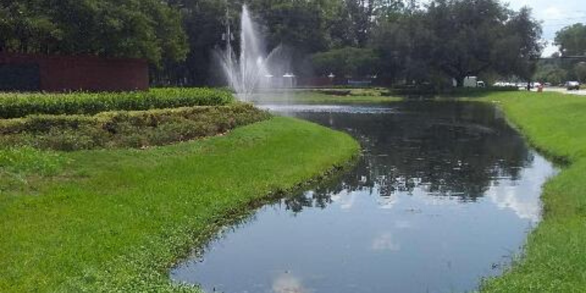
Julington Creek is an area of northern St. Johns County, Florida. Homeowners in the area expressed concern about failing underdrains in the neighborhoods resulting in cracked driveways and soil erosion. Failure of these underdrains could result in localized flooding, curb and gutter failure, sidewalk failure, yard subsidence, and asphalt failure. Constantine Engineering, Inc. was retained to inspect the underdrain and storm drainage system in this area and develop a prioritized maintenance plan including a replacement schedule for the failing underdrains and storm assets that required maintenance. The area storm drain inlets were inspected, along with crossdrains, ditches, and ponds that serve as part of the storm system for St. Johns County.
Constantine utilized the ArcGIS online platform and Collector software, and employed the Survey123 program to gather crossdrain information based on a recently completed survey form and workflow used in the SJC Public Works Department. The workflow was then modified so that a known asset was identified in the Collector software online, and then selected for an inspection in Survey123. This proved useful because the original assets were not modified, but each inspection was recorded as a separate point record and saved the Asset Id and Globally Unique Identifier (GUID) for existing assets. As a result, the inspection record and original asset could be tied together with these identifiers. Several iterations were required to generate a form that was sufficient to gather all required information. This resulted in multiple copies of the asset database, requiring extensive manual reconciliation at the end of the data collection process. Future data collection efforts would not require this extensive data reconciliation effort because the workflows and platforms have been established by this project.
Constantine staff spent approximately 3 months conducting field investigations of storm assets. They performed a drive-through survey of each area looking for storm assets and potential underdrains that were not currently mapped and visit each storm structure and record its overall structural and functional condition. Crews inspected any underdrain route for signs of failure with a qualitative assessment of severity. At the end of data collection, all of the various sources were downloaded and grouped based on functional category for inlets, crossdrains, underdrains, ponds, ditches, and junction boxes.
Constantine develop a computer program to rank the assets based on the field assessment information and a prioritized replacement schedule for each asset class based on the ranked score. Approximately 3000 inspection points were recorded, with approximately 344 being indicated as being in Poor condition or in some need of repair. Additionally, Constantine developed an order-of-magnitude cost estimates for the prioritized replacement of each asset class.

